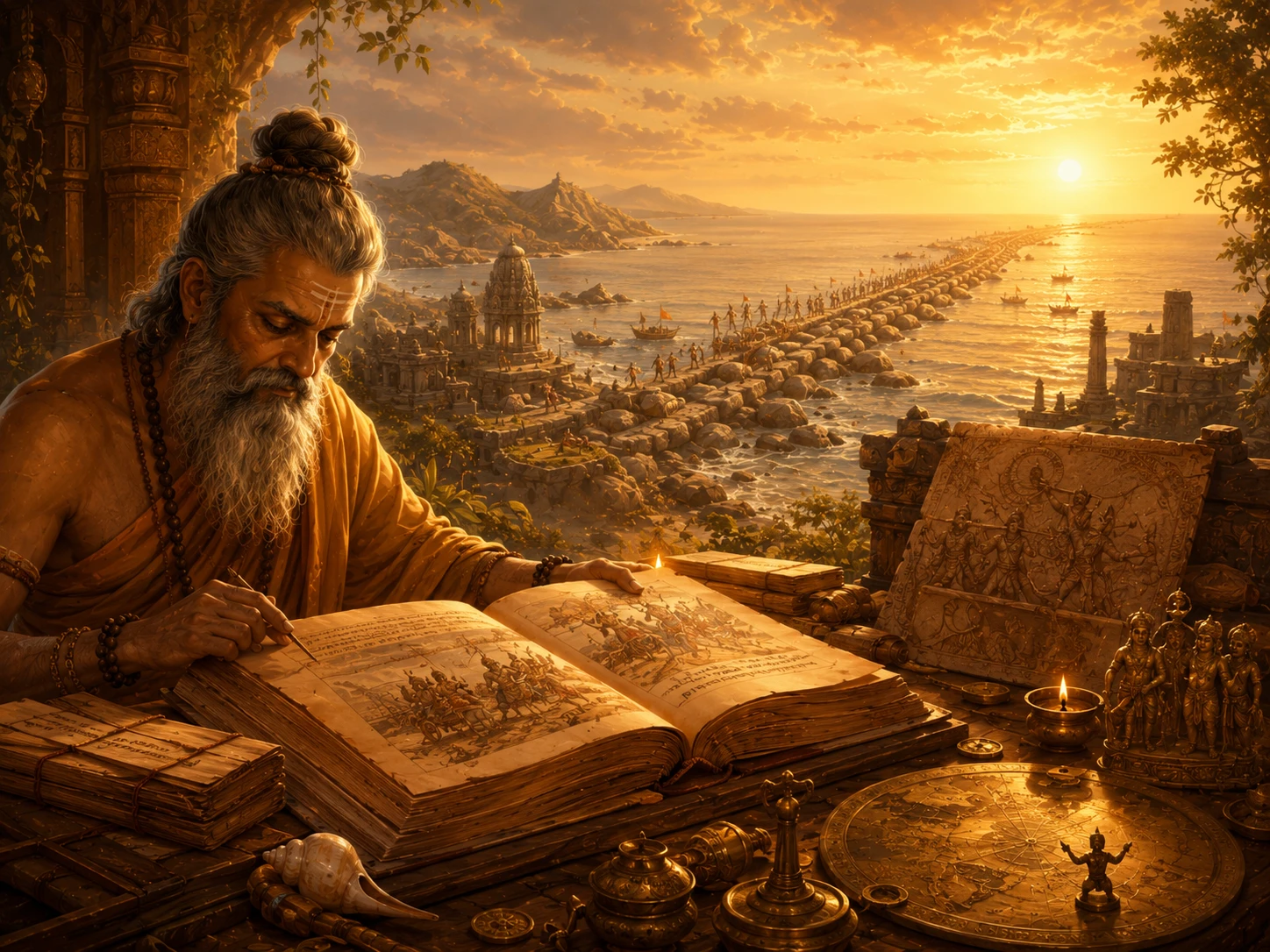
Ramayana -- History or Myth? What the Evidence Actually Says
रामायण -- इतिहास या मिथक? साक्ष्य वास्तव में क्या कहते हैं
In the Sundara Kanda of the Valmiki Ramayana, Hanuman leaps across the ocean from the southern tip of India to Lanka. Before that leap, Valmiki describes the geography with startling precision: a coastal town at the peninsula's tip, an ocean strait, an island kingdom beyond. Stand at Dhanushkodi today -- the abandoned ghost town at the tip of Pamban Island, Rameshwaram -- and look southeast. Through the haze, on a clear day, you can almost see Sri Lanka. Between you and the island lies a chain of limestone shoals stretching 48 kilometres across shallow water, rarely deeper than one metre. NASA satellites have photographed it. ISRO has mapped it. Fishermen have walked on its exposed sections for centuries.
The structure is called Ram Setu. Or Adam's Bridge. Or, if you are a geologist, a chain of natural limestone shoals formed by Holocene sedimentation and coral growth. The name you use already reveals your position in a debate that has raged for decades. But here is what everyone agrees on: the structure exists, it connects India to Sri Lanka, it was walkable until a cyclone in 1480, and both ancient texts and modern satellite imagery describe the same thing in the same place.
This article is the companion piece to our Mahabharata evidence article. Same framework. Same intellectual honesty. We lay out five categories of evidence for the Ramayana's historicity -- geographic, geological, archaeological, astronomical, and cultural-botanical -- and let you see where the text aligns with reality and where the questions remain open. The goal is not to 'prove' the Ramayana. It is to show you that dismissing it as pure fantasy requires ignoring an uncomfortable amount of corroborating evidence.
आदिकाव्यमिदं चारु सीतायाश्चरितं महत्। पठन् रामायणमिदं सर्वपापैः प्रमुच्यते॥
ādikāvyam idaṃ cāru sītāyāś caritaṃ mahat | paṭhan rāmāyaṇam idaṃ sarvapāpaiḥ pramucyate ||
This Ramayana is the first poem (Adi Kavya), beautiful and grand, the great story of Sita. One who reads this Ramayana is freed from all sins.
— Valmiki Ramayana, Bala Kanda 1.1.97-98 (Phala Shruti)
Evidence 1 -- Geography: A 3,000-km Route You Can Walk Today
The Ramayana's single most remarkable feature -- the one that separates it from most ancient epics worldwide -- is the precision of its geography. Rama's 14-year exile traces a 3,000-km path from Ayodhya in Uttar Pradesh to Lanka across the southern ocean, naming rivers, mountains, forests, and settlements along the way. Almost every major site on this route is identifiable today, and many retain the same names Valmiki used.
The route moves in five phases. Phase 1: Ayodhya to Chitrakoot -- crossing the Tamasa river, the Ganga at Shringverpur (30 km from Prayagraj), and settling in Chitrakoot (MP/UP border) where the Gupt Godavari caves, Kamadgiri Hill, and Sphatik Shila on the Mandakini river match Valmiki's descriptions of cascades, caves, and fruit groves. Phase 2: Chitrakoot to Panchavati -- through the Dandakaranya forest (modern Bastar, Chhattisgarh) to Panchavati near Nashik, Maharashtra, on the banks of the Godavari. The Kala Ram Temple marks the traditional site of the kutir. The local tradition claims Nashik's name derives from 'nasika' (nose) -- the incident where Lakshmana cut Surpanakha's nose. Phase 3: Panchavati to Kishkindha -- southward through the Dandaka forest to Kishkindha, widely identified with the Hampi-Anegundi region in Karnataka. The boulder-strewn landscape along the Tungabhadra river matches Valmiki's descriptions with striking precision. Phase 4: Kishkindha to Rameshwaram -- the army marches south along the Kaveri river, through Trishirapalli and Thanjavur to the coast. Phase 5: The ocean crossing via Ram Setu to Lanka.
Individual stops along this route carry their own etymological footprints. Lepakshi in Andhra Pradesh preserves the tradition that this is where the mortally wounded Jatayu fell after fighting Ravana. The name itself is said to derive from 'Le Pakshi' ('Rise, O bird') -- the words Rama spoke upon finding the dying vulture. At Sringverpur, the site where Rama crossed the Ganga, B.B. Lal's excavation uncovered not just pottery but an ancient flood-control structure -- an engineered embankment suggesting a settlement sophisticated enough to manage river levels, consistent with the text's description of the Nishada king Guha's established river-crossing settlement.
No other ancient epic in world literature offers this level of geographic traceability. The Iliad names Troy but does not give you a walking route. The Odyssey describes a sea journey with mythical islands. The Ramayana gives you real rivers, real mountains, real caves -- and they are still there.
The Indian government's Ramayana Circuit under the Swadesh Darshan scheme formally recognises 15 sites across Uttar Pradesh, Madhya Pradesh, Chhattisgarh, Maharashtra, Karnataka, Tamil Nadu, and Sri Lanka. This is not a fringe pilgrimage. It is national infrastructure built on the geographic consistency of a 3,000-year-old text.
Evidence 2 -- Geology: The Bridge Between Two Lands
Ram Setu (Adam's Bridge) is a 48-km chain of limestone shoals, coral reefs, and sandbanks connecting India's Pamban Island (Rameshwaram) to Sri Lanka's Mannar Island. The sea here is extraordinarily shallow -- rarely exceeding 1-3 metres in depth -- and the structure is clearly visible in satellite imagery.
Here is what geology confirms: the Geological Survey of India, ISRO, and NASA satellites all confirm the structure's existence. ISRO's 2023 mapping exercise using ICESat-2 data produced a 10-metre resolution undersea map showing the ridge stands about 8 metres above the seabed for most of its length. The structure consists of 103 small patch reefs according to ISRO's Space Applications Centre. It was walkable until a cyclone in 1480 damaged the exposed portions -- temple records at Ramanathapuram confirm this.
Here is where it gets complicated: Dr. Badrinarayanan, former Director of the Geological Survey of India, drilled 10 bore holes along the alignment and found something unusual -- a consistent layer of calcareous sandstone and corals sitting atop loose sand, with hard rock formations below. He noted that in natural formations, you do not typically find older rocks sitting on younger sand. This led him to suggest the structure may not be entirely natural. Separately, a 2017 documentary featuring geologists from Indiana University, University of Colorado, and Southern Oregon University noted that the rocks atop the sand are approximately 7,000 years old while the sand beneath is approximately 4,000 years old -- an inversion that raises questions about placement.
Here is what NASA actually said (since this is widely misquoted): NASA explicitly stated that satellite photographs from orbit cannot determine the origin or age of the structure, and cannot determine whether humans were involved. They neither confirmed nor denied human construction. They said their images were being misinterpreted.
The sober conclusion: a remarkable linear geological formation exists exactly where the Ramayana places Rama's bridge. Its unusual stratigraphy (older rocks on younger sand) is anomalous but not conclusively proof of construction. The structure was usable as a land crossing within historical memory. Whether it was built, augmented, or is entirely natural remains genuinely unresolved.
Evidence 3 -- Archaeology: Sites That Remember
Unlike the Mahabharata, which has B.B. Lal's extensive PGW excavations, the Ramayana's archaeological evidence is more diffuse -- spread across numerous sites rather than concentrated in systematic excavations. But the cumulative picture is significant.
At Sringverpur (Allahabad district, UP), where Rama crossed the Ganga, Professor B.B. Lal (the same archaeologist from the Mahabharata excavations) uncovered an ancient flood-control structure and settlement dating to the early centuries BCE, confirming it was a significant river crossing in antiquity.
At Chitrakoot, the Gupt Godavari caves and Kotumsar caves in the Dandakaranya (Bastar) region have yielded radiocarbon dates of 6940-4030 years BP (Before Present) from charcoal remains of grains and seeds -- confirming human habitation in these forests during the broad timeframe tradition assigns to Rama's exile.
At Hampi-Anegundi (identified with Kishkindha), the boulder-strewn landscape along the Tungabhadra matches Valmiki's descriptions so precisely that even sceptical archaeologists acknowledge the geographic identification. The Vijayanagara Empire later built their capital here, drawn partly by the area's Ramayana association. Stone carvings depicting Ramayana scenes are found throughout the Hampi ruins, including the Hazara Rama Temple -- a 600-year-old temple whose walls narrate the entire epic in carved stone panels.
At Rameshwaram, the Ramanathapuram temple tradition records centuries of custodianship of the Setu site by the Setupati dynasty -- kings whose very title means 'guardian of the bridge.' This is not recent political appropriation. It is a continuous recorded tradition spanning centuries.
The most politically sensitive site -- Ayodhya -- has been subject to ASI excavations in 2003, conducted under the direction of B.R. Mani (then Joint Director General, ASI), pursuant to orders of the Allahabad High Court in the Ayodhya title suit (OOS No. 5 of 1989). The excavation, employing Ground Penetrating Radar alongside traditional trenching, revealed pillar bases arranged in rows, a massive north-south wall, decorated floor tiles, stone and terracotta architectural fragments, and glazed pottery suggesting continuous habitation across multiple periods. These findings were submitted as evidence to the Allahabad High Court and were subsequently referenced in the landmark 2019 Supreme Court verdict.
This article presents the archaeological facts without political commentary. The pillar bases and wall fragments are physical objects in an ASI excavation report -- they exist regardless of the legal or political interpretation placed upon them. For a UPSC aspirant studying Ancient Indian History, the Ayodhya excavation is a case study in how archaeology interacts with law, politics, and faith -- a complexity that deserves careful analysis, not sloganeering from any side.
Evidence 4 -- Astronomy: Dating Through the Stars
Like the Mahabharata, the Valmiki Ramayana contains specific astronomical references -- though fewer in number (approximately 30+) and less systematically studied. The most significant is the description of Rama's birth: the text states he was born in Chaitra month, on the Navami tithi (ninth day), with the Sun in Aries, Jupiter in Cancer, Saturn in Libra, Mars in Capricorn, and the Moon in Punarvasu nakshatra. These five simultaneous planetary positions create a testable astronomical signature.
Using planetarium software, researcher Pushkar Bhatnagar computed this configuration and arrived at a date of January 10, 5114 BCE. Other researchers using different software and assumptions have arrived at different dates, ranging from 7000 BCE to 1500 BCE. The astronomical dating, like the Mahabharata's, is contested.
Astronomer Ashok Bhatnagar has additionally noted that the star Canopus (named after sage Agastya in Indian tradition) became visible from the Vindhya mountains only around 5100 BCE due to precession of the equinoxes -- correlating with the Puranic tradition that sage Agastya crossed the Vindhyas and moved south, and with Rama's own southward journey in the Ramayana.
The honest assessment: the astronomical references in the Ramayana are genuine celestial descriptions, not random poetry. They describe a specific sky. But computing exact dates from ancient descriptions involves assumptions about calendar systems, precession corrections, and text transmission accuracy that different scholars handle differently. The astronomical evidence places the Ramayana in deep antiquity but does not give us a single agreed-upon date.
Evidence 5 -- Cultural-Botanical: Lanka Across the Water
Sri Lanka itself preserves an extraordinary layer of Ramayana-linked cultural memory. The Sri Lankan tourism board officially maintains a 'Ramayana Trail' across the island, connecting sites associated with the epic. These include: Sita Amman Temple (one of the few Sita temples in the world, near Nuwara Eliya, believed to be the site of the Ashok Vatika where Sita was held captive); Ravana Falls and Ravana's Cave near Ella; the Ussangoda National Park (where local tradition says Hanuman's burning tail set the earth on fire, and where the soil is uniquely reddish and laterite); and the hilltop site near Bandarawela that some researchers identify with Ravana's aerial palace; and Sigiriya -- the spectacular rock fortress rising 200 metres above the plain -- which some popular accounts have associated with Ravana's palace, though this identification is contested since the ruins atop Sigiriya are historically attributed to King Kashyapa I (5th century CE).
The Sita Amman Temple deserves special attention. Located in the hill country near Hakgala Botanical Gardens (itself named after 'Hanu-gala,' meaning 'Hanuman's rock' in Sinhala), it sits at a site the local Tamil Hindu community has maintained for centuries as the location of the Ashok Vatika -- the grove where Ravana held Sita captive. The temple is small, intimate, and set beside a stream where local women still perform puja. Circular impressions in the rock near the stream are said to be Hanuman's footprints. What makes this site significant is its continuity -- the Tamil Hindu community in this Buddhist-majority region has maintained this tradition through centuries of political change, suggesting deep roots rather than recent invention.
Ussangoda National Park, on the southern coast, presents a genuinely unusual geological feature. The soil here is strikingly barren, reddish laterite -- dramatically different from the lush green vegetation surrounding it. Local tradition says Hanuman's burning tail scorched the earth here when he set Lanka ablaze. Geologists note the unusual iron-rich soil composition. While a geological explanation is almost certainly correct, the cultural mapping of an anomalous landscape feature onto the epic's narrative reveals how ancient communities made sense of their physical environment through sacred storytelling.
The botanical evidence is intriguing if circumstantial. The Ramayana describes the Sanjeevani herb growing on a mountain in Lanka that Hanuman uproots and carries back. The Dronagiri mountain in Uttarakhand (where some traditions place the origin of the herb) and the Rumassala hill near Galle in Sri Lanka (where local tradition says a piece of the mountain dropped) both feature unusual concentrations of rare medicinal plants that researchers have documented.
None of this is proof. Cultural memory can be constructed and retrospectively attached to places. But the density of Ramayana-associated sites, names, and traditions in Sri Lanka -- in a Buddhist-majority country with no obvious motive to invent Hindu sacred geography -- is noteworthy. The tradition is not imposed from outside. It is embedded in local memory.
Five Evidence Categories -- Ramayana Strength Assessment
| Evidence Category | What It Confirms | What It Cannot Confirm | Key Source | Strength |
|---|---|---|---|---|
| 1. Geography (3,000-km exile route) | Every major site on Rama's route is identifiable and retains Ramayana-era names. Rivers, caves, mountains match Valmiki's descriptions. | That Rama specifically walked this route. Geographic memory can be retrospectively constructed. | Valmiki Ramayana (all 7 Kandas), Ramayana Circuit (Swadesh Darshan), field surveys | Strong |
| 2. Geology (Ram Setu / Adam's Bridge) | 48-km limestone shoal chain exists between India and Sri Lanka. Walkable until 1480. Anomalous stratigraphy (older rocks on younger sand). | Whether the structure is natural, human-built, or human-augmented. NASA explicitly declined to determine origin. | ISRO ICESat-2 mapping, GSI bore holes (Dr. Badrinarayanan), NASA satellite imagery | Moderate to Strong |
| 3. Archaeology (multi-site) | Ancient habitation at Sringverpur, Chitrakoot caves (radiocarbon 6940-4030 BP), Hampi-Kishkindha match, Setupati dynastic records. | Direct Rama-era artefacts. No 'PGW-equivalent' linking all sites to a single culture layer. | B.B. Lal (Sringverpur), Chitrakoot/Bastar radiocarbon, Hampi-Anegundi surveys | Moderate |
| 4. Astronomical Dating | Rama's birth description contains testable planetary positions. Canopus visibility correlates with Agastya legend. | Exact date. Estimates range from 7000 BCE to 1500 BCE depending on methodology. | Pushkar Bhatnagar (5114 BCE), Ashok Bhatnagar (Canopus/Agastya correlation) | Moderate (contested) |
| 5. Cultural-Botanical (Sri Lanka) | Dense Ramayana-linked sites across Sri Lanka. Official 'Ramayana Trail'. Unusual medicinal plant clusters at Rumassala. | Whether cultural memory is historical or retrospectively constructed. Botanical clusters may be coincidental. | Sri Lanka Tourism Board, local traditions, botanical field surveys | Weak to Moderate |
Compared to the Mahabharata evidence article: the Ramayana's geographical evidence is arguably stronger (the 3,000-km route is more precisely traceable), but its archaeological evidence is weaker (no equivalent of the 35+ PGW sites forming a single cultural signature). The Ram Setu geological evidence occupies a unique position -- nothing comparable exists for any other ancient epic anywhere in the world.
The Question Worth Asking
Scholar Robert Goldman, who spent decades translating the critical edition of the Valmiki Ramayana at UC Berkeley, made an important observation: the Ramayana's narrative shifts abruptly in tone from the first two books (Bala Kanda and Ayodhya Kanda) -- which read as 'pseudo-historical' court literature describing kingdoms, politics, succession, and exile -- to the later books (Aranya Kanda onwards) where rakshasas, flying chariots, talking animals, and supernatural events dominate.
This literary observation aligns with a reasonable hypothesis: the Ramayana may contain a historical core -- an actual prince, an actual exile, an actual conflict with a southern kingdom across the sea -- that was progressively mythologized over centuries of telling and retelling. The court politics are plausible history. The flying Pushpaka Vimana is not. The question is where one ends and the other begins.
For a UPSC aspirant, this debate falls squarely in the Ancient Indian History syllabus. For an NRI parent trying to explain Ramayana to a child growing up in Texas, the geographic evidence provides a powerful anchor: 'These are real places. You can go there. The rivers are real. The caves are real. The bridge is real. The story that connects them is for you to explore.'
The Ramayana does not need archaeological proof to be valuable. Its teachings on duty, sacrifice, love, and dharma have shaped half a billion lives regardless of whether Rama walked in 5114 BCE or 1500 BCE or only in Valmiki's imagination. But the evidence -- stubborn, accumulating, spanning geology, astronomy, geography, and cultural memory across two countries -- suggests that something real lies at the heart of this story. And that something deserves serious inquiry, not casual dismissal.
The Ramayana describes Kishkindha as a kingdom of boulders, caves, and a river flowing through rocky terrain. The Hampi-Anegundi region -- identified with Kishkindha -- is a UNESCO World Heritage Site with exactly this landscape: massive granite boulders, caves along the Tungabhadra river, and the Anjaneya Hill (traditionally Hanuman's birthplace). This is not a case of a vague description matching a convenient location. Valmiki describes specific terrain features -- boulder fields, cave networks, a river gorge -- that match one and only one landscape in peninsular India. The Vijayanagara Empire chose this location for their capital in the 14th century partly because of its Ramayana association, building the Hazara Rama Temple whose 600-year-old stone panels depict the complete Ramayana narrative in carved relief. Meanwhile, fishermen in the Palk Strait between India and Sri Lanka report that during very low tides, they can still walk on exposed sections of Ram Setu -- exactly as the text describes it was walkable before its submergence.
Read the Sundara Kanda
The most revered section of the Ramayana -- Hanuman's leap across the ocean, his search for Sita in Lanka, and the message of hope he carries back. Open the Scripture reader and begin.
Tags
Eternal Raga · शाश्वत राग
Institutional voice — scholarly articles on Sanatan Dharma
Deepen Your Understanding
अपनी समझ और गहरी करें
scriptural exegesis
Mahabharata -- History or Myth? What the Evidence Actually Says
Submerged cities off Gujarat. 35+ archaeological sites matching the epic's geography. 200+ astronomical events verified by planetarium software. A river that vanished exactly as the text describes. Five categories of evidence that do not 'prove' the Mahabharata -- but make dismissing it as pure fiction increasingly difficult.
scriptural exegesis
Hanuman's Leap Across the Ocean
100 yojanas of open ocean. Three supernatural obstacles. Zero backup. Hanuman's leap to Lanka is not just mythology's greatest action sequence -- it is a masterclass in overcoming self-doubt, navigating temptation, and executing under impossible pressure.
scriptural exegesis
Why Sundara Kanda is the Most Revered
It is the only book of the Ramayana named after a quality, not a place. It is the only one where Rama is absent from the action. And it is the most recited, most parayana'd, most trusted text in living Hindu practice. Why does Sundara Kanda hold this unmatched position?
scriptural exegesis
10 Life Lessons from the Ramayana That Still Work in 2026
The Ramayana is not a bedtime story. It is a 24,000-verse operating manual for life -- written by a reformed highway robber who became India's first poet. Every character, from Rama to Ravana, from Kaikeyi to Vibhishana, carries a lesson that lands harder in a world of Instagram comparisons, campus placements, and family WhatsApp drama than it ever did in the forests of Dandaka. Here are 10 lessons -- not the sanitised textbook kind, but the ones that actually matter when your life gets complicated.
scriptural exegesis
Ahalya Moksha -- The Woman Who Became Stone and the God Who Set Her Free
She was Brahma's most perfect creation. She was cursed for a crime that may not have been hers. She lay as stone -- or invisible, or in ashes, depending on which text you trust -- for thousands of years. Then a boy-prince's foot touched her, and she rose. Ahalya's story is Hinduism's oldest argument about consent, punishment, and grace.
scriptural exegesis
Rama and Bharata -- The Brotherhood That Refused a Throne
A king who walks away from his own throne to honour his father's word. A brother who could have taken that throne and instead places a pair of sandals on it and says: 'These rule, not me.' For 14 years, Bharata governed the mightiest kingdom in the world as a regent -- living in a hut, wearing bark cloth, eating roots -- while the sandals of his absent brother sat on the royal seat. When Rama finally returned, Bharata did not wait for ceremony. He ran to Nandigrama with the sandals on his head and fell at his brother's feet. This is not mythology. This is the gold standard of what human relationships can be.
scriptural exegesis
Shastra Vriksha -- The Complete Map of Hindu Scriptures
Vedas, Upanishads, Puranas, Gita -- everyone has heard these names, but almost nobody knows how they connect to each other. Shastra Vriksha is the GPS of Hindu scripture -- a single interactive tree that maps every major text, from the root of the four Vedas to the 126 catalogued Gitas, and finally makes the whole system click.
The Ramayana describes Kishkindha as a kingdom of boulders, caves, and a river flowing through rocky terrain. The Hampi-Anegundi region -- identified with Kishkindha -- is a UNESCO World Heritage Site with exactly this l…
More in Scriptural Exegesis
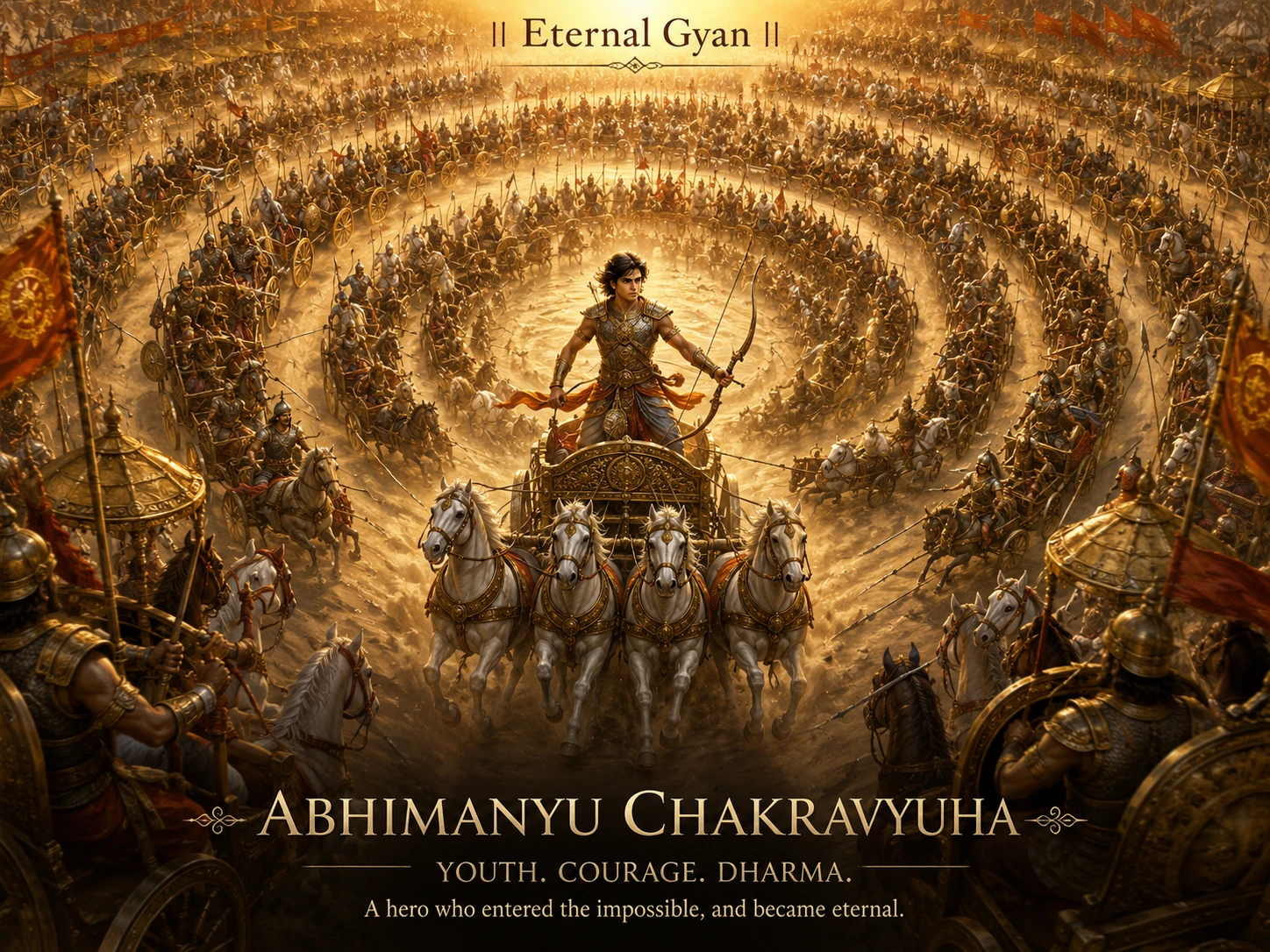
Abhimanyu and the Chakravyuha -- The Boy Who Knew How to Enter but Not How to Leave
14 min read
After Kurukshetra -- What Happened Next
14 min read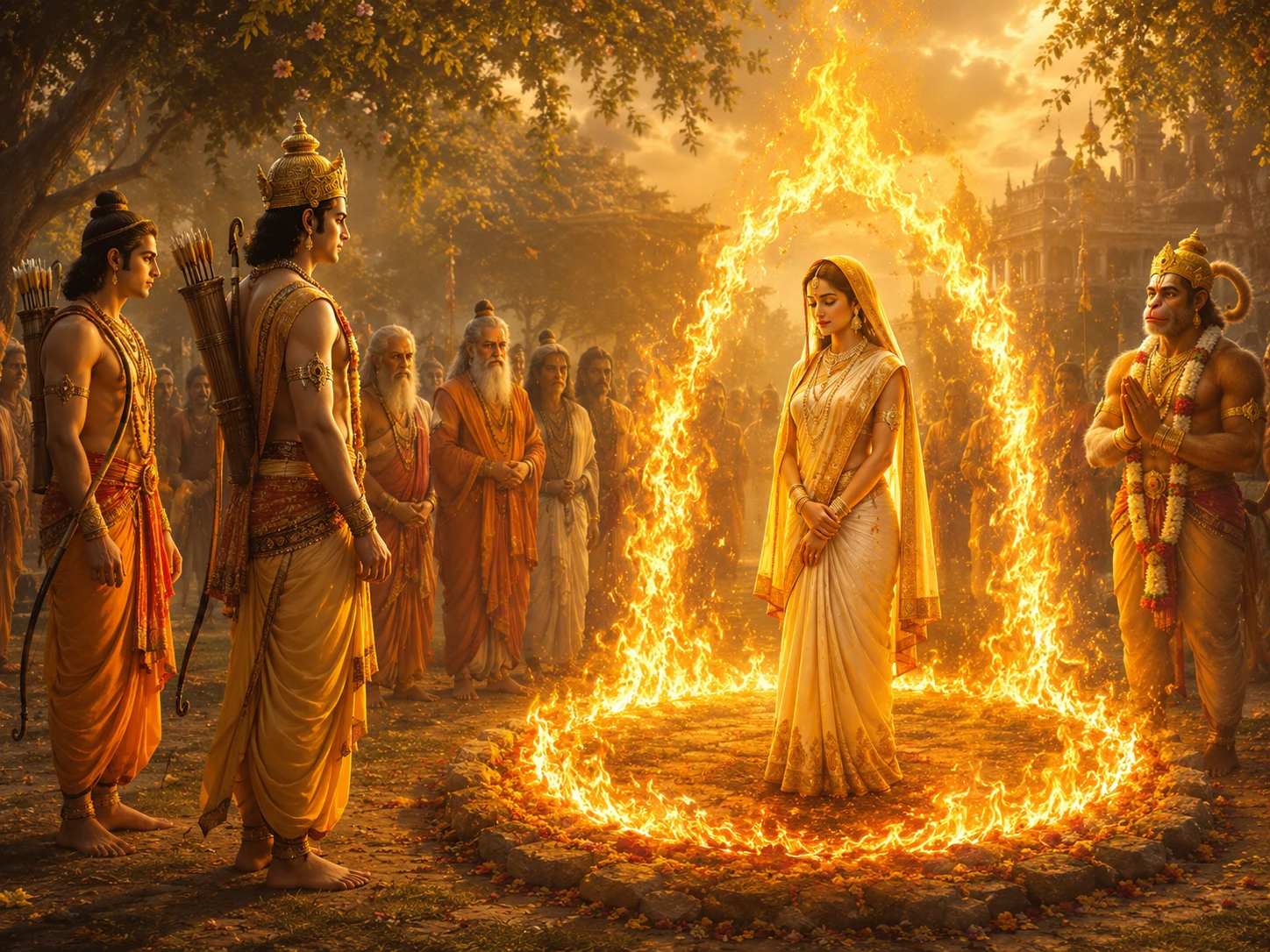
Agni Pariksha -- Sita's Fire Ordeal and the Interpretations That Divided India
15 min readThe same translation error that turned '33 Koti' into '33 crore' in Hinduism also happened in Buddhism. The Chinese translation of Buddhist texts rendered 'Sapta Koti Buddha' (7 Supreme Buddhas) as '7 Crore Buddhas.' The…
Deities AvatarsCommunity Reflections
🕉️
Be the first to share your reflection.